
Srikant Panda is a photogrammetrist, philosopher, friend, and owner of a brand new house.
Srikant was interviewed for GeoHipster by Randal Hale, who prefaced this piece with the following:
Many of you are going to be reading this and going “Who is Srikant Panda?” I said the same thing about a couple of years back when he randomly contacted me about photogrammetry work. GIS is boring these days — but the stories… So we started talking. We talked about mapping. We talked about life. We talked about philosophy. He sent me pictures of India, and I suddenly realized that this man who lives half a world away isn’t terribly different from myself. So I decided to tell you a little about Srikant, who studied geology, and who became involved in mapping… which incidentally is what I did. Our paths aren’t terribly different, but where we live is quite different. Friends: Meet Srikant!
Q: Srikant, you’re not exactly a “typical” GIS person…
A: Well, there is a lot of difference between GIS work and photogrammetric work. Honestly, I am not much a GIS guy but a photogrammetric technologist. What we do here is tremendously used in GIS projects.
Q: We cover a lot of people from the GIS side of life on GeoHipster, but I don’t think we’ve covered your area of expertise.
A: In this generation everyone knows about maps and their use. Everyone is familiar with Google Maps. Hence most of the people know about GIS and its application. But few people have known and understood what is the science behind photogrammetry, and what exactly is done that makes it different from a normal map making/digitization.
Q: You do photogrammetry. How did you get your start doing it?
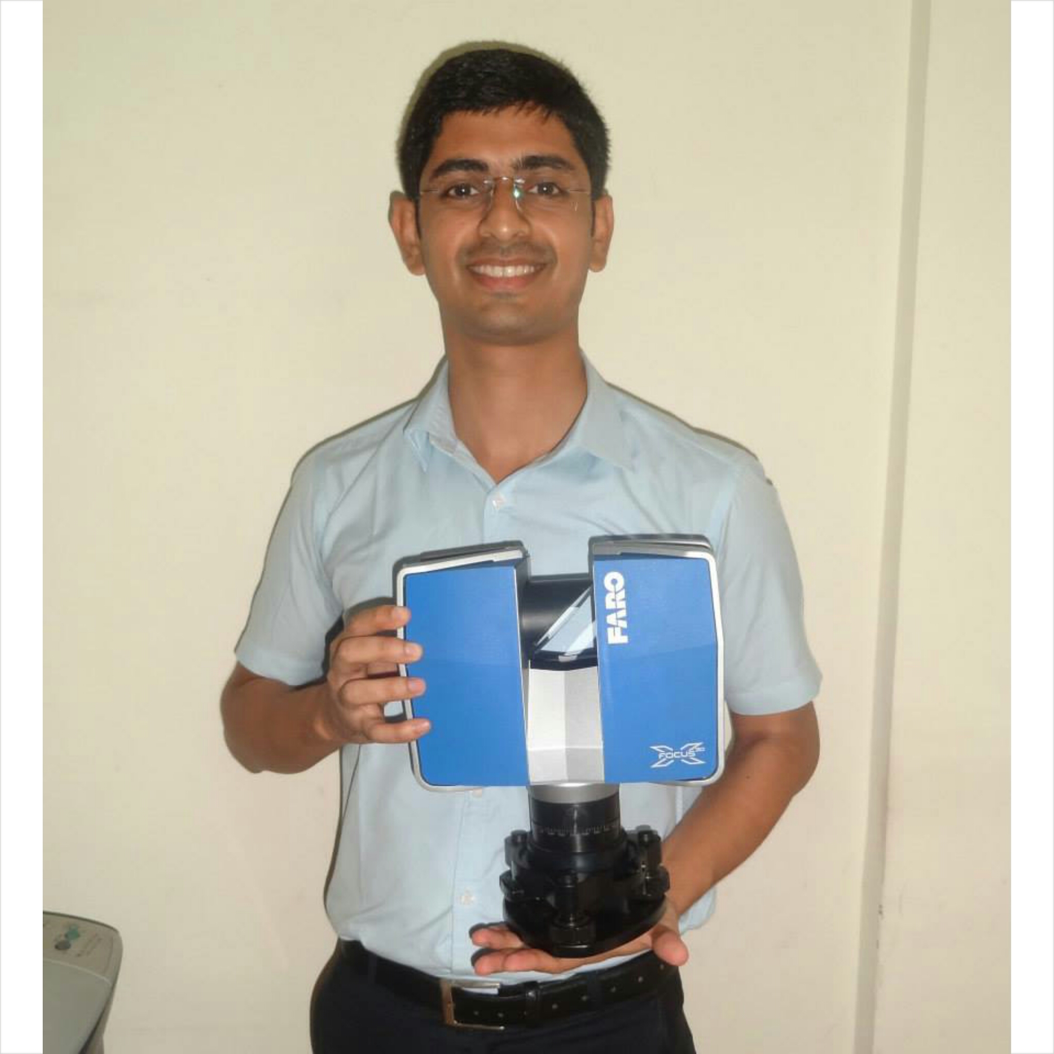
A: I am a graduate in Geology and completed my graduation from Berhampur University that is situated in the southern coastal belt of the state Orissa in India. I am a great lover of the subject Geology. The chapters of Geomorphology and Aerial Remote Sensing/Photo-Geology were my favourite subjects. After my final year exams were over in 2004, I came to Hyderabad — a city in South India — to explore more on my further studies on Aerial Remote sensing. There is an old photogrammetric institute named MapWorld Technologies, where I wanted to complete my photogrammetric courses. It took me 6 months to undergo a training on Aerial Remote Sensing. In the institute I used the Russian photogrammetric software named Photomod to learn aerial triangulation and stereo compilation.
After the training was over, I got a job in a well known photogrammetric firm named IIC Technologies. There I started my career.
Q: What do you do?
Before I answer what I do, it is necessary to understand what is the difference between a 2D map and a 3D map; the difference between an aerial image and aerial orthophoto.
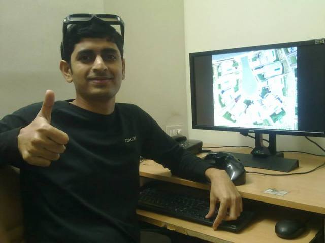
A: I am a digital map maker. In my maps you will find the X, Y, and Z information of the terrain. The Z value in my map makes it special as I compile the map in 3D environment. I use aerial photographs as input, and use 3D mouse and 3D glasses to plot them. Unlike the traditional symbol-and-line map, we produce digital orthophotos, which are the real and scaled representation of the terrain. Orthophotos or orthomaps are one of the final outputs of my work. Apart from that, the two important outputs are planimetric maps and topographic maps.
Q: Where do you live in India?
A: My house is located in a small village at the hills of the southern coastal belt of Orissa. A small village named Badapada surrounded by green hills and with a population of around 2,500 is considered a remote tribal area. The nearest city is Berhampur, which is 120 km from the village. It takes 5 hours to travel from the village to the city. My parents live there. They love each other so much. My brother lives in New Delhi. My two sisters are married, and they live a few kilometers away from the village. My parents visit us at different time of the year, but they never leave the village in Spring and Rain. The village remains the most beautiful in this time. Once a year my company grants me a 10-days’ of leave to travel and stay with my family. It takes 35 hours to reach the village from Pune (30 hours of train journey and 5 hours of bus journey). We all siblings reach the village in Spring or Rain.
Q: Here in the United States there has been a ton of discussion on drones. Is there much talk in India about drones, and how do you think that will impact photogrammetry?
A: In India there are peculiar map-restriction policies. Private companies are restricted to execute aerial photography. The policies are slightly now changed, where the permission from NRSC and Defence are required. It is a challenge for the private companies (except a few) to invest in large format aerial cameras and an aircraft. So UAV and a medium format camera is a great alternative, and private companies are much excited to use the UAVs for large scale mapping, surveillance, videography etc., and other applications. Now the big problem in India is the repeated threats of jehadi militants. If UAVs are frequently used in India, they may be misused by the militants where a bomb can be dropped on a monument or building. So the Indian government has put restriction over the flying height of the UAVs. Lots of permissions are required for the use of drones.
There is too much of advertisement of drones in magazines, shows etc., but what I feel is, there are only few UAVs which can actually produce nadir/vertical aerial photos for the photogrammetric mapping. Yes, the UAVs will play a great role in the field of photogrammetry in the coming days. A small company can invest in a drone and a medium-format aerial camera for large scale mapping jobs, which can be a rail/road/river/transmission line/corridor mapping, or a golf course mapping, or a stockpile, or a volumetric calculation job.
What I feel is, it is difficult for the current photogrammetric software to do the aerial triangulation of the aerial photos which are taken by the UAVs. It is because of the shake in the camera due to the wind, and the photos are not vertical, or near vertical. Another challenge for the UAV user is to calibrate the medium- or small-format cameras. But I am sure there are many software companies who have almost developed their photogrammetric software, which can perform aerial triangulation using the photos taken from a UAV. Ortosky, developed by SRM Consulting, is a nice software which processes the UAV data very well. They are also working on their software which can calibrate the camera.
For Photogrammetric mapping, it requires not just a camera but a complete camera system. A gyro mount, a very good medium format camera, IMU GPS, good lenses. When you combine all these, the weight may vary from 2 kg to 5 kg. In such situation the payload and the endurance of the UAV should be good. 1 kg of payload and 15 min of endurance is not a good photogrammetric UAV.
Q: What does the future hold for you, career-wise?
A: I would like to start my own company where I can market interesting and efficient geospatial products. Along with that I would like to keep myself busy with photogrammetric mapping work. It is a challenge in India to start your own company, but there are a few companies who are willing to help me start my own unit. They have always encouraged me and ready to support me. I am really thankful for their trust in me. I may soon start working independently.
Q: Back in 2014 you told me you were in the middle of building a house. In the United States home-building is a huge endeavor. How close are you to being done, and overall how difficult was it?
A: You asked me the question at a good time. It took me around five years to complete the construction of my house in the village. Well, the only job I did was to send the money to my parents every month. My father worked hard and managed the construction. I prepared the design of the house in VrOne CAD software. It is very expensive to construct a house in India, and so I had to construct step by step. The construction work is just finished, and as per Hindu tradition, we make a celebration on the day of inauguration. This celebration will be on 16th of Feb 2015. It is a big achievement and a dream come true.
Q: So I leave the final question to you: Do you have anything you want to share with the worldwide good readers of GeoHipster on life, photogrammetry, and mapping?
A: One thing which I feel very important to mankind is to contact and communicate with others. It is a very strange world that we remain busy with our work and don’t even care knowing the rest of the world. Eight years back it was a challenge for me to learn photogrammetry when I was new in this field. I started contacting people on the Internet, and I was glad that they answered my questions. This way my friendship with dozens of people became intense. Being a stranger and remaining far far from each other, we discussed many things related to photogrammetry and the culture in their country. This way gradually I not only learned photogrammetry, GIS, LiDAR, but also the cultures in USA, UK, Australia, New Zealand, Poland, Mauritius, Africa, Latvia, Germany, the Netherlands, Canada, Russia, Alaska, Morocco, Tunisia, Spain, and Japan. For me the whole community of photogrammetry and GIS is a family, and we should communicate with each other, asking our doubts, and exchanging our ideas. I have not just received the answers to my questions from friends, but have also received a lot of love.
I love the words of Gandhi and would like to share them with all my friends and readers:
“Live as if you were to die tomorrow. Learn as if you were to live forever.”
Comments
18 responses to “Srikant Panda: “The whole community of photogrammetry and GIS is a family””
[…] http://www.geohipster.com/2015/01/26/srikant-panda-whole-community-photogrammetry-gis-family/ […]
Srikant is one-in-a-million and it has been a privilege to know him. I am sure he will be successful in his endeavours. I have nothing but the highest regards for his integrity and if you need any work done go to Srikant first.
I have to agree with Dean. As “one-of-the-million” who seemingly know and enjoy Srikant’s friendship, all I can say is it is a joy to be part of his photogrammetric family.
All my best wishes both professionally and personally for Srikant a great communicator, skilled in photogrammetry and good friend. Efforts will end his reward.
[…] http://www.geohipster.com/2015/01/26/srikant-panda-whole-community-photogrammetry-gis-family/#comment-76… […]
Great to read the interview of Srikant. I always look forward to receiving an E-Mail from him. He is always so upbeat and does a great job providing insight on some of India’s traditions.
Srikand is a real Ghandi of photogrammetry community. Somehow he can communicate with people around the world and find common language, despite geographical and culture differences. And not only at a verbal layer. One can learn from Srikant positive relation to the other people.
How did I get so lucky?! Srikant contacted me, seemingly randomly, by email a few years ago. We’ve been great friends ever since! I can confirm, first hand, that any of these great comments about Srikant are not over-exaggerations! He’s really that great a guy! Srikant – you’re amazing!!!
It has been fascinating to keep in touch with Srikant over the last few years. I was involved in GIS when the field first started. I’m a photogrammetrist as well, so receiving news from India on mapping work is very interesting to me personally and professionally, despite me being retired. The mapping industry in India is going through the same changes now as we went through in North America about 25 years ago. I’m confident Srikant will find a way to continue to work and contribute in his chosen field, but challenges are ahead!
I have known Srikant for several years now, having met him through a friend @ a past photogrammetric company I worked for. Srikant was always inquisitive & passionate about his profession. He is constantly seeking to better his skills. He is eager to learn… whether it is about the geospatial realm or about cultures or people themselves. His interest is genuine & his heart exudes true brotherhood & love. I have never met anyone of his caliber before. He is truly a special and uniquely made individual. I am greatly blessed knowing him. I wish him forever the best in all he does and hope others can share his contagiously positive attitude for life and caring for others. I have learned much from him as well.
I am thankful for all these flowers friends. I am lucky to have you all.
Srikant is a geospatial guy of great substance. His networking is better than GNSS!
He has multi-dimensional skills while leaving a simple life with great values and virtues as taught by his elders and close ones.
Keep it up brother and God bless …
Srikant is a geospatial guy of great substance. His networking is better than GNSS!
He has multi-dimensional skills while living a simple life with great values and virtues as taught by his elders and close ones.
Keep it up brother and God bless …
My knowledge of srikant dates back early nites, latter we bond well in intermediate to till now it grows stronger day by day, what I like of him is the clear heart personality & ready to reach you any time. My best wishes are you dear .
[…] We want to share with you the interesting interview […]
Never i thought in my life ,i will get such a friend like Srikant who cares about me more than my family.Today i m here due to him only.All the best Srikant for ur future.
Regards,
Sairam.
[…] Queremos compartir con vosotros su interesante entrevista. […]
[…] Queremos compartir con vosotros su interesante entrevista. […]