Johann Dugge and Juernjakob Dugge – May
Johann Dugge and Juernjakob Dugge
www.papercraftmountains.com
Tell us about yourself.
Johann: I model packing processes of consumer products like laundry detergent to optimise the package design and manufacturing lines at Procter & Gamble in their Brussels office.
Juernjakob: I work on software for optimising water and wastewater treatment processes. So our day jobs have only little to do with mapping. However, we’ve been exposed to cartography and particularly terrain models from a young age: Our father is a geomatics engineer, and our parents have been collecting raised relief maps for as long as we can remember.
Tell us the story behind your map (what inspired you to make it, what did you learn while making it, or any other aspects of the map or its creation you would like people to know).
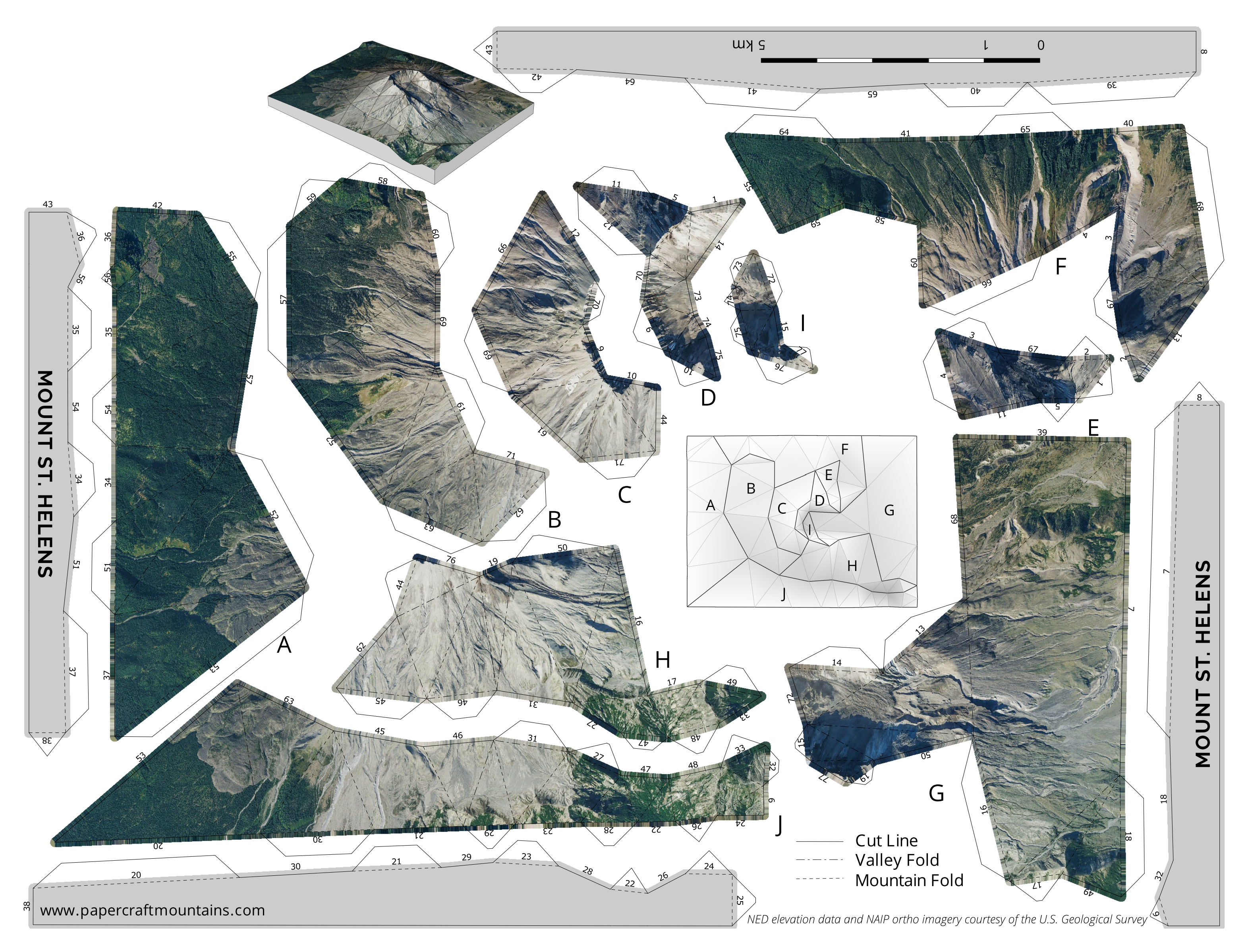
Juernjakob: I was following Daniel Huffman’s tutorial on generating shaded reliefs using 3D rendering software, and slightly adapted the approach by first converting the DEMs to triangulated irregular networks before rendering them. The faceted appearance reminded me of the low-poly papercraft models that have been in vogue for a while, and I thought it might be fun to build a terrain model out of paper.
Johann: In June 2015 as we were cycling over the hills of Belgium we discussed what the qualities of such a model would have to be to be considered “optimal”. When we returned home to Brussels and Stuttgart we both started to adapt existing triangulation algorithms for this specific problem. In the end I came up with a solution that strikes a good balance between terrain fidelity and having a small number of triangles, avoiding difficult-to-assemble thin and tiny triangles as much as possible. My background in numerical optimisation certainly came in handy for this.
We presented the first results at the ICA Mountain Cartography Workshop in April 2016 and received a lot of very encouraging feedback. Since then we have been working on new models – the Matterhorn is already available through our site www.papercraftmountains.com. Also keep an eye out for Mount Fuji which will be released shortly!
Tell us about the tools, data, etc., you used to make the map.
We developed the triangulation algorithm in MATLAB. The elevation data comes from the USGS National Elevation Dataset, the orthophoto from the US National Agriculture Imagery Program. The quality of publicly available data in the United States is amazing, the rest of the world still has a lot of catching up to do in this regard.
Blender is used to add the stiffening structure to the 3D model. Pepakura is an unfolding software for paper model layouts and the final touches are done in Inkscape.


Comments
One response to “Maps and Mappers of the 2017 GeoHipster Calendar – Johann Dugge and Juernjakob Dugge”
[…] http://www.geohipster.com/2017/05/23/maps-mappers-2017-geohipster-calendar-johann-dugge-juernjakob-dugge… […]